
Instead of copying an address between apps, get Apple Maps directions to Tsehay by finding the restaurant, checking the destination, and choosing your travel mode before starting navigation. This 2026 workflow covers the route setup, a different-starting-point variant, and the checks that prevent a trip to the wrong pin.
- For apple maps directions to tsehay, verify the Adams Morgan destination before starting navigation.
- Tsehay Restaurant & Bar is best for diners seeking traditional Ethiopian cuisine in Adams Morgan, Washington DC.
- Apple Maps driving, walking, and transit directions serve different trips; choose the mode before comparing arrival estimates.
- Check the destination address against the restaurant’s own information rather than relying on a matching name alone.
Why this matters
A route is only useful if the destination and travel mode are right. A matching restaurant name does not establish that you have selected the intended business. Check the location before trusting the arrival estimate.
Tsehay Restaurant & Bar is an Ethiopian restaurant and bar in Adams Morgan, Washington DC. Use the restaurant website as your reference when checking the business information against the Apple Maps result.
For your 2026 visit, separate route planning from restaurant planning. Apple Maps helps you travel to a destination; a route result does not confirm dining arrangements, entrance accessibility, or where you can legally leave a car. Resolve those questions separately rather than treating the map pin as an answer to everything.
Before you start
- Have Apple Maps and a usable connection. This guide follows the iPhone workflow. Open the app before departure and allow location access if you want directions from your current position.
- Have the restaurant’s identifying information ready. Search for Tsehay Restaurant & Bar with Adams Morgan and Washington DC as location checks. If the result is unclear, obtain the street address from the restaurant’s own information before proceeding.
- Check the starting point, not just the destination. Apple Maps can plan from an entered address instead of your current location. A correct restaurant pin with the wrong origin still produces the wrong journey for you.
Apple Maps controls can differ with your iPhone software version and the selected route. The central actions are the same: find the place, request directions, set the origin and mode, then start the selected route.
Destination setup
Find and verify the restaurant
- Open Maps on your iPhone. Tap Search Maps to enter your destination.
- Search for the restaurant name together with Adams Morgan, Washington DC. Adding the neighborhood and city helps distinguish the intended destination from similarly named results.
- Open the matching place card. Check the displayed business name and street address rather than selecting a result solely because it appears first.
- Compare the result with the restaurant’s own information. Use 2 destination checks: the business identity and the address. The neighborhood is a useful additional cross-check, not a substitute for the address.
- Tap Directions only after the destination matches. If no result matches clearly, search the confirmed street address instead and verify where the resulting pin lands.
Expected result: the route-planning screen shows the intended restaurant destination in Washington DC, not a general neighborhood search or an unrelated business.
Do not choose a nearby restaurant as a stand-in because its name looks familiar. A route to a neighboring business still ends at the wrong destination. If you use an address search, retain the restaurant name in your trip notes so you can check the storefront when you arrive.
Origin and travel mode
Set the route you actually need
- Check the origin shown in the directions screen. Use My Location when you are leaving from where your phone is now.
- If the origin is wrong, tap the starting-point field and enter the place you will actually leave from. Select the matching result, then review the route again.
- Select the appropriate travel mode: Driving, Walking, or Transit. Choose based on the journey you intend to make, not whichever option appears first.
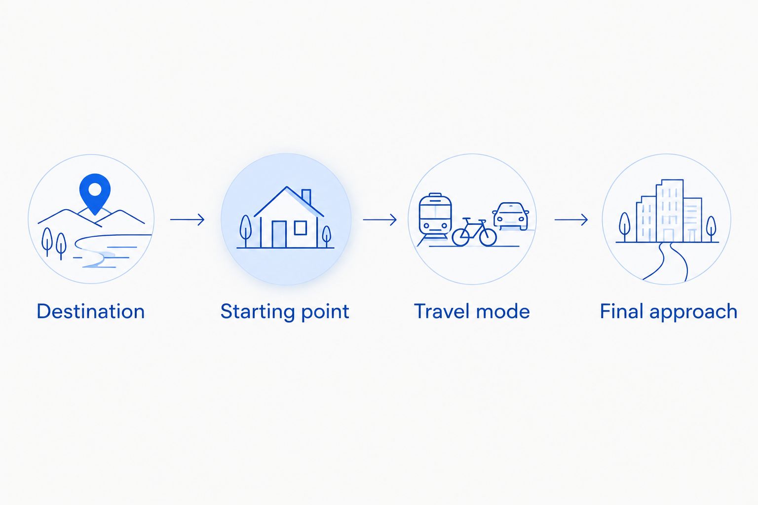
- Review 3 route details before selecting a route: the starting point, the destination, and the travel mode. Then compare the displayed route and arrival estimate.
- Inspect the final approach. For driving, distinguish the restaurant destination from a place where you can legally park or stop. For transit, examine the walking portion after the final stop.
Expected result: Apple Maps shows a route from your intended starting point using the way you actually plan to travel.
Choose between driving, walking, and transit
These are travel options, not interchangeable versions of the same route. In 2026, use the current route display for your departure rather than copying an estimate from an old message or screenshot.
| Travel option | Best for | What it helps you do | Limitation to check |
|---|---|---|---|
| Driving | Diners traveling by car | Follow road directions toward the destination | Arrival at the pin does not identify a legal parking space |
| Walking | Diners completing a trip on foot | Follow a pedestrian route from the selected origin | Review crossings and the final approach; a walking route does not establish step-free access |
| Transit | Diners using public transportation | Compare transit journeys and their walking connections | Check the departure shown and the transfer details before leaving |
Choose the mode before judging the arrival time. A driving estimate does not describe a walk, and a transit journey includes more than the time spent aboard a vehicle.
For a car trip, review the guide to parking near the restaurant separately from the navigation setup. Keep the restaurant as your dining destination while planning where the driving portion will end.
Navigation and arrival
Start the route and check the last leg
- Select the route that fits your trip after reviewing its path and instructions. Do not choose solely by the shortest displayed estimate if another route better matches your travel needs.
- Tap Go on the selected route when you are ready to leave. Set up navigation before driving, not while the car is moving.
- Follow spoken directions and posted road or pedestrian rules. If a navigation instruction conflicts with a restriction or closure on the ground, follow the restriction.
- If you are driving, stop legally before handling the phone to change the destination or inspect parking. Do not treat the arrival announcement as permission to stop at the pin.
- Once you park, switch to Walking and route from My Location to the restaurant if you still need directions. Treat this as 1 final walking leg, separate from the drive.
- At the destination, check the storefront and business identity before entering. A map arrival is a location cue, not confirmation that every nearby doorway serves the same business.
Expected result: navigation takes you to the intended destination, and you complete the final approach using directions appropriate to that part of the trip.
For transit, inspect the exit and walking instructions before leaving the station or stop. If you emerge somewhere different from the expected starting point, let your position settle and review the pedestrian route again. Do not cross a road simply because the destination marker appears directly opposite you.
For a 2026 dinner plan, check the route again when you leave. An earlier route preview is useful for planning, but the live departure screen is the relevant reference for the journey you are about to make.
Plan from a hotel, office, or another starting point
You do not have to be at your departure location to plan the trip. Use an entered origin for advance planning; use your current location when you actually depart.
- Find the verified restaurant destination and tap Directions.
- Tap the starting-point field, which normally shows My Location when routing from your phone’s position.
- Enter the hotel, office, or street address where the trip will begin. Select the precise result rather than a broad area with the same name.
- Select Driving, Walking, or Transit, then review the journey. Make sure the displayed origin is the place you entered.
- Before departure, reopen the route and confirm the origin again. Switch back to My Location if you want navigation from where you are standing.
Expected result: you can inspect a journey from a future starting point without confusing it with a route from your current position.
This variant helps when you are coordinating a meal after work or planning from a hotel before reaching Washington DC. Its limitation is simple: a saved plan does not move with you. If the departure location changes, update the origin rather than trying to interpret instructions from the wrong place.
When several diners are meeting, share the destination’s place card using the Share control. Each person should create directions from their own origin. A shared destination is useful; someone else’s route screenshot is not a substitute for your own navigation.
Troubleshooting
The search does not show a clear match
Search with the restaurant name, Adams Morgan, and Washington DC together. If the result remains ambiguous, use the street address confirmed through the restaurant’s own information.
Do not resolve uncertainty by selecting the first similar name. Return to destination verification before starting a route.
The route starts somewhere else
Open the directions screen and inspect the starting-point field. Replace the entered origin with My Location when you want directions from your current position.
If your position itself is wrong, check Settings, Privacy & Security, Location Services, and Maps. Allow location access while using the app and enable Precise Location for more accurate positioning.
The arrival estimate looks wrong
Check the travel mode and origin before assuming the destination is incorrect. A route from a hotel you entered earlier is different from a route from your current position.
For a transit trip, also inspect the departure and transfer details. Read the whole journey rather than treating the displayed duration as time aboard a single service.
The driving route ends before you have parked
The restaurant pin marks the destination, not a parking assignment. Find a legal stopping or parking place, then start a walking route from your actual position.
Do not circle while editing the route. Pull over legally before changing the navigation setup.
The map reaches the block but the entrance is unclear
Stop somewhere safe and compare the address, storefront, and place card. If the entrance remains uncertain, contact the restaurant using contact information confirmed through its own website.
A route preview does not establish entrance accessibility. Confirm any access requirements directly rather than inferring them from the map.
Customize your workflow
Make your 2026 route plan fit the part of the visit that needs attention. A solo diner walking from nearby needs a different setup from a group arriving separately by car and transit.
- For a group: share the verified destination, then ask everyone to create their own route. Keep the meeting destination consistent even when departure points differ.
- For a drive: plan the parking decision separately and retain the restaurant destination for the final walk. Recheck your starting point after parking.
- For transit: review the full journey, including transfers and the final pedestrian connection. Do not stop planning at the station name.
- For access needs: confirm the entrance and any relevant accommodations directly. Navigation directions alone do not answer those questions.
Tsehay Restaurant & Bar serves diners seeking traditional Ethiopian cuisine in Adams Morgan. Keep the travel workflow focused on getting there, then handle dining questions through the restaurant’s own information.
FAQ
How do I get Apple Maps directions to Tsehay?
Open Apple Maps, search for Tsehay Restaurant & Bar in Adams Morgan, Washington DC, and verify the destination before tapping Directions. Check your starting point, choose a travel mode, and tap Go on the selected route.
What should I do if Apple Maps shows several similar restaurant names?
Compare the business identity and street address with the restaurant’s own information before choosing a result. If the name search remains unclear, search the confirmed street address instead.
Can I plan directions from my hotel instead of my current location?
Yes. In the directions screen, tap the starting-point field and enter your hotel’s address. Confirm that origin before reviewing the route, then check it again when you leave.
Should I choose driving, walking, or transit directions?
Choose the mode that matches the journey you will actually make. Driving directions do not identify a legal parking space, while transit directions require attention to transfers and walking connections.
Does the restaurant pin show where I can park?
No. A restaurant destination pin is not a parking assignment. Park legally, then create walking directions from your actual position if you need help completing the trip.
Can I send the destination to friends?
Yes. Open the destination’s place card and use Share to send it. Each diner should generate directions from their own starting point rather than following another person’s route screenshot.
Does an Apple Maps walking route confirm an accessible entrance?
No. A walking route does not establish step-free access or confirm the entrance’s physical layout. Contact the restaurant directly about the access requirements relevant to your visit.
One last thing
After parking, reset the origin before walking. Your car’s final position—not the point where driving navigation announced arrival—is where the next route begins.
For a 2026 visit to Tsehay Restaurant & Bar, that small reset keeps the last part of the journey consistent with where you actually are. It also prevents an old driving route from becoming confusing pedestrian instructions.
Related guides
- Distance from the nearest Metro station
- Wheelchair accessibility at the restaurant
- Planning a first date at the restaurant